
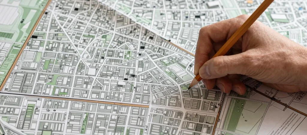
A vacant lot beside a railway, a former workshop behind a row of houses, a field at the edge of a village: each can prompt the same question. What is allowed to happen here? In France, the local urban plan is a useful starting point, but it is a planning document—not a promise that a project will be built.
Start with the right document
Depending on the area, planning rules may sit in a local urban plan, often called a PLU, or a plan prepared across several municipalities, a PLUi. Check the relevant municipality or intermunicipal authority’s official website for the current documents and maps. An old PDF shared in a neighborhood group may not reflect the version now in force.
Read the map and the rules
Find the parcel on the zoning map, then read the written rules for that zone. The map gives a first orientation; the text sets out conditions that can affect uses, building form, access, and other aspects of a proposal. A color on a map alone is not enough to conclude that a particular building is permitted.
Separate permission from possibility
A planning document can indicate what a proposal must comply with, but it does not establish that a landowner will proceed, that financing exists, or that a specific design has been approved. Those are separate questions, and a project’s status should be checked against public records or confirmed with the relevant authority. Treat early sketches and rumors as leads, not settled facts.
Follow the decision trail
For a neighborhood discussion, note the document’s date, the parcel reference, and the exact rule you are relying on. If the issue matters to a property or a formal submission, ask the planning department which documents and procedures apply; this guide is not a substitute for case-specific advice. The practical habit is simple: locate the parcel, verify the current plan, then distinguish what the rules say from what anyone expects to happen.